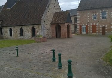
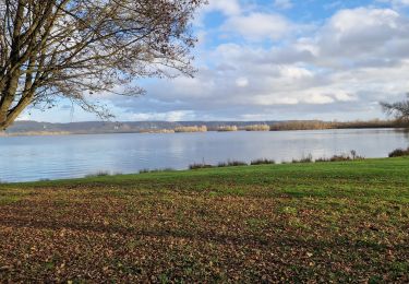
8.7 km | 9.3 km-effort
20230314-Les Damps Cool
doudet
User
Length
9.4 km
Max alt
91 m
Uphill gradient
103 m
Km-Effort
10.8 km
Min alt
4 m
Downhill gradient
105 m
Boucle
Yes
Creation date :
2023-03-14 08:25:37.45
Updated on :
2023-03-18 17:14:31.261
2h27
Difficulty : Easy
FREE GPS app for hiking
About
Trail Walking of 9.4 km to be discovered at Normandy, Eure, Les Damps. This trail is proposed by doudet.
Description
Boucle A-R au départ du Cimetiere
Positioning
Country:
France
Region :
Normandy
Department/Province :
Eure
Municipality :
Les Damps
Location:
Unknown
Start:(Dec)
Start:(UTM)
367266 ; 5462344 (31U) N.
Comments
Trails nearby
Sotteville sous le Val vers Igoville
Walking
Easy
(1)
Sotteville-sous-le-Val,
Normandy,
Seine-Maritime,
France
1h 48min
Yes
20190820_135035
Trail
Very easy
(1)
Les Damps,
Normandy,
Eure,
France
10.9 km | 12.5 km-effort
Unknown
Yes
Pont de l'Arche/ Les Damps (126)
Walking
Medium
(4)
Pont-de-l'Arche,
Normandy,
Eure,
France
11.5 km | 13.9 km-effort
3h 3min
Yes
*les Authieux Igoville 15km
Walking
Very easy
(1)
Les Authieux-sur-le-Port-Saint-Ouen,
Normandy,
Seine-Maritime,
France
13.9 km | 16.5 km-effort
3h 37min
Yes
Du Vaudreuil, aux Andelys et retour
sport
Very easy
Le Vaudreuil,
Normandy,
Eure,
France
58 km | 64 km-effort
Unknown
Yes
20240305-Gouy
Walking
Medium
Les Authieux-sur-le-Port-Saint-Ouen,
Normandy,
Seine-Maritime,
France
10.7 km | 13.1 km-effort
2h 35min
Yes
20240227-Poses
Walking
Easy
Amfreville-sous-les-Monts,
Normandy,
Eure,
France
13.1 km | 14.1 km-effort
2h 49min
Yes
20240206-Sotteville sous le Val
Walking
Medium
Sotteville-sous-le-Val,
Normandy,
Seine-Maritime,
France
11.4 km | 13.5 km-effort
2h 34min
Yes
20231212-Les Damps
Walking
Medium
Les Damps,
Normandy,
Eure,
France
9.5 km | 11.1 km-effort
2h 39min
Yes